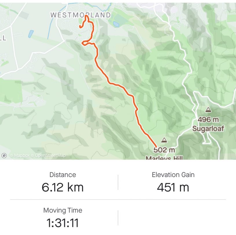
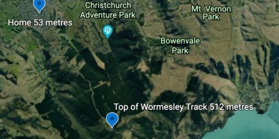

As I stated in a previous post I wanted to climb Worsley Track to gauge the elevation. It is easy to work it out on Google Maps but what is the actual climb. Started off late afternoon as i knew if I didn’t do it now I wouldn’t for at least another week. To easy to put it off.
An extra incentive was that there is forecast snow for the next day. I wasn’t that brave.
Starting off wasn’t great. Was out of breathe by the top of out driveway. Convinced myself I can get to the playground at the top of the Westmorland spur. Once I achieved that I just kept going and finally got into a rhythm. The last 100 metres was the hardest as it is the steepest part of the track. Just put my head down and took one step at a time. Counted off 200 steps before I looked up.
The top was now close so it was head down and knocked of the last 20 metres.
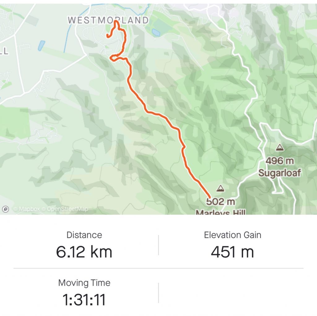
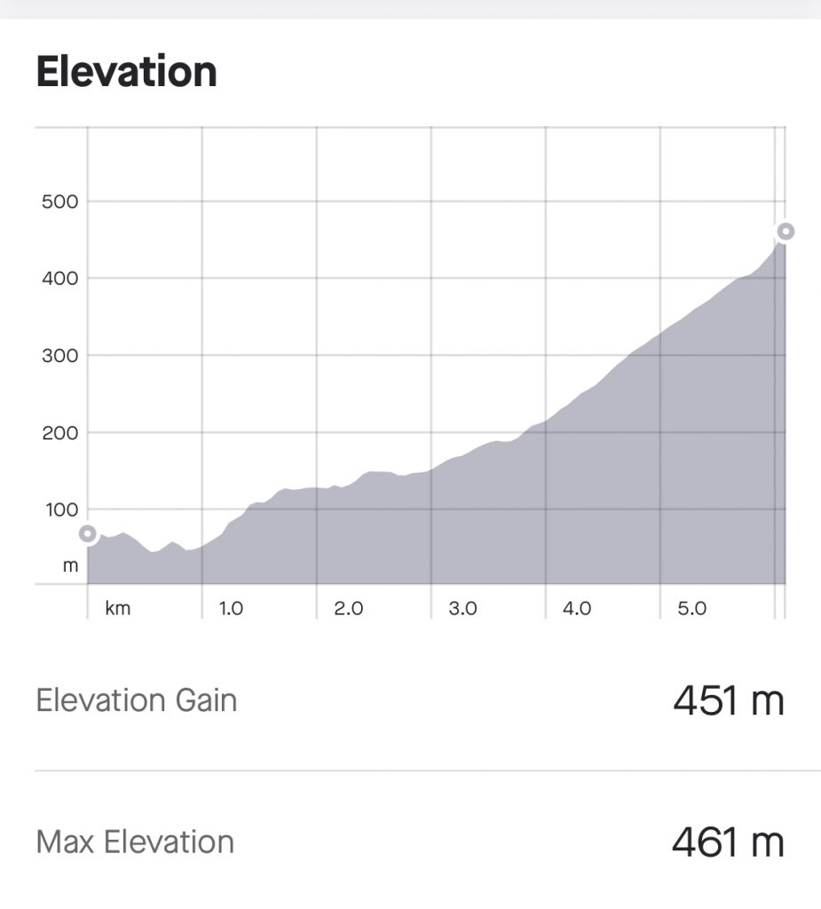
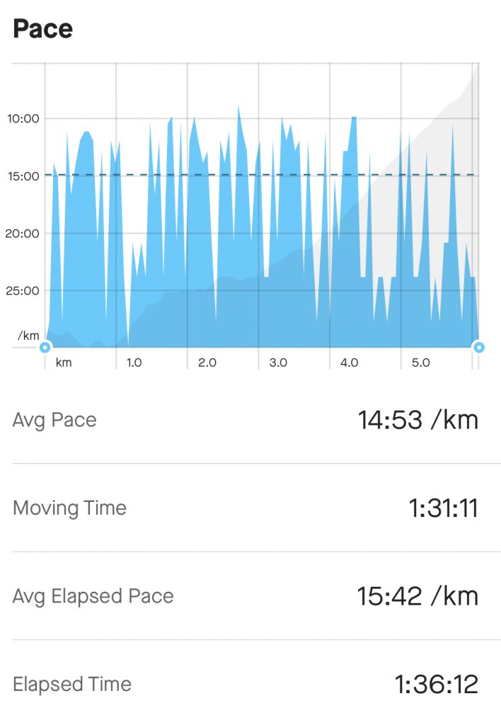
Not the prettiest photo but at least shows I got there. I have also included all the stats that I recorded on the Strava app which proved the Google maps calculations were pretty accurate.


Leave a Reply
You must be logged in to post a comment.